


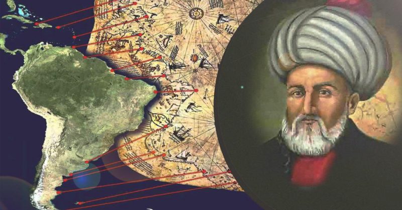
In 1929, an ancient rolled map was found in a library in the Topkapi Palace in Constantinople. This was the Piri Reis map, a document that could rewrite history.
The Piri Reis map was stored for decades until it was found. This ancient document is considered one of the first maps of America.
Furthermore, it is the only 16th century map that shows South America in its correct longitudinal position in relation to Africa. Everything seems normal, until we see Antarctica with no ice covering it.
The controversial Piri Reis map
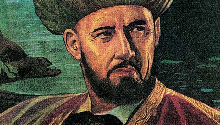
The map was drawn on gazelle skin and compiled in 1513 by Ahmed Muhiddin Piri , popularly known as Piri Reis.
Reis was an Ottoman-Turkish military admiral, who also acted as navigator, geographer and cartographer.
Currently, a third of the map is very well preserved. There you can see the western coasts of Europe, North Africa and the coast of Brazil.
You can also see several islands in the Atlantic, such as the Azores and the Canaries, in addition to the mythical island of Antilla and, probably, Japan.
However, what has generated heated debates within the scientific community, is the representation of Antarctica.
The map has a landmass at the current Antarctic location with a topography with no ice covering it. And it does it in great detail.
The problem is that the history books point out that the first sighting of Antarctica was in 1820, thanks to the Russian expedition of Mikhail Lazarev and Fabian Gottlieb von Bellingshausen . In addition, scientists say that the “frozen continent” has been covered with ice for more than 6,000 years .

So how is it possible that the Piri Reis map not only possesses Antarctica, but is also ice-free?
Advanced knowledge of the Ottomans
There are reports where it is explained that the Ottoman Empire had knowledge about an ancient civilization that lived in the Ice Age. Although these evidences are considered by the scientific community as ” pseudoscience “.
But, if true, the Ottomans would have a great deal of knowledge about Antarctica, even more so than scientists do today.
Experts believe that the region, which is considered Antarctica on the map, is rather Patagonia or the “Unknown Southern Land”, which had not yet been fully explored.
For more controversy, the Piri Reis map resembles a supposed map drawn by Christopher Columbus , which has never been found .
Geographers have spent centuries searching without success for the “lost map of Columbus,” on which it would have been drawn while in the West Indies.
Currently, the Piri Reis map is not exposed to the public. Why? The reason is not known. Yes, it is a “misinterpretation” of the Ottoman. What is the need to keep it hidden? Or maybe I’m not so wrong